CB7 4BD East Cambridgeshire
Live postcode, introduced January 1980. Ward: Ely East. Region: East of England.
Streets
- Broad Street, Ely: 13 addresses
Council tax
What each band costs in East Cambridgeshire in 2026-27: Band D £2,485 a year on average, including the police, fire and any county and parish charges.
| A | B | C | D | E | F | G | H |
|---|---|---|---|---|---|---|---|
| £1,657 | £1,933 | £2,209 | £2,485 | £3,037 | £3,590 | £4,142 | £4,970 |
Homes by band in the neighbourhood around this postcode: most are in band B (36% of about 840 homes).
Planning and heritage
- Conservation area: yes, Ely (council page). Extensions, demolition, some windows and doors, and work on trees need consent.
- Listed buildings within 100 m of this postcode: 6.
- Article 4 direction (removing permitted development rights): none recorded, though not every council has published theirs.
- Tree preservation orders: 1 protected tree within 100 m of this postcode.
- Green belt: no.
Listed buildings
- 41 AND 41A, BROAD STREET, grade II*
- 23 Broad Street, grade II
- 25 Broad Street, grade II
- 74A, Broad Street, grade II
- 90-94 Broad Street, grade II
- 96, BROAD STREET, grade II
Brownfield land registered for housing within 1.0 km
- Alexander House 38 Forehill Ely Cambridgeshire: up to 20 homes, permissioned (300 m)
- Pound Store, 10, Forehill, ELY, Cambridgeshire CB7 4AF, permissioned (330 m)
- Pound Store, 10, Forehill, ELY, Cambridgeshire CB7 4AF, permissioned (330 m)
- Station Gateway, Angel Drove, Ely: up to 100 homes, not permissioned (410 m)
- Station Gateway, Angel Drove, Ely, not permissioned (410 m)
- Land At Barton Road Car Park Barton Road Ely Cambridgeshire, permissioned (550 m)
- Waitrose Car Park area, Brays Lane, Ely, CB7 4QJ: up to 20 homes, not permissioned (590 m)
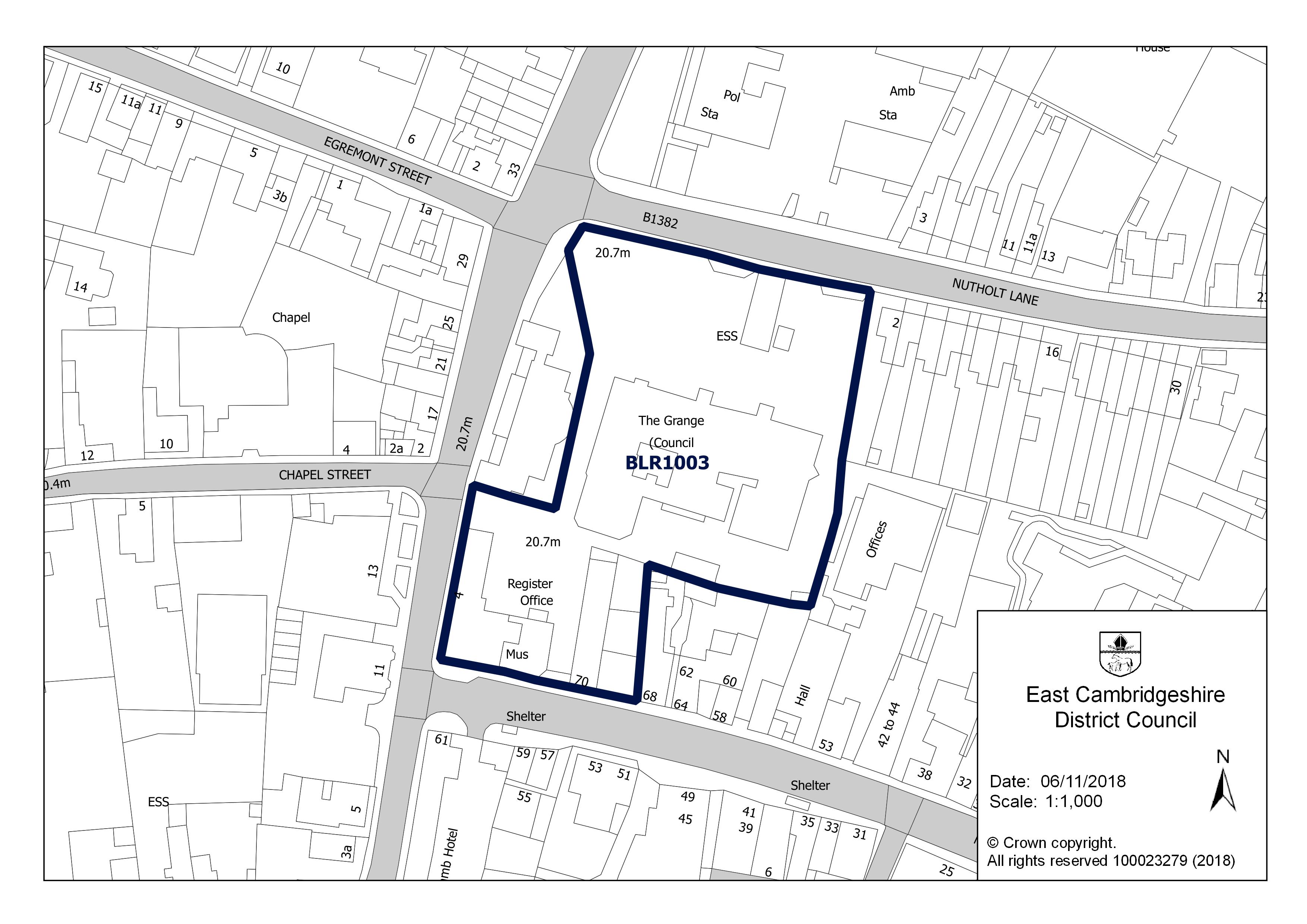
- The Grange, Nutholt Lane, Ely CB7 4EE: up to 10 homes, not permissioned (640 m)


Flood risk
Rivers, the sea or surface water: in this postcode, 0 addresses are in areas at high risk, 1 at medium risk and 2 at low risk. Each address counts once, at the higher of its rivers-and-sea and surface-water risk.
Rivers and the sea alone: no home is in an area at risk.
High: 3.3% (1 in 30) or more chance of flooding a year. Medium: 1% to 3.3%. Low: 0.1% to 1%. Very low: under 0.1%. The rivers and sea figures allow for flood defences. Counts cover whole postcodes, which can include other streets.
Flood zone for planning: no postcode centre is in flood zone 2 or 3.
Height above sea level
The postcode's addresses are about 7 m above sea level.
Broadband
Superfast 100%, ultrafast 100%, gigabit 100% of premises; 0% cannot get 10 Mbit/s. Ofcom Connected Nations, data as at January 2026.
Getting around
| Nearest | Distance | |
|---|---|---|
| Railway stations | Ely 2.3 million journeys in 2024–25 | 460 m |
| Soham 66,000 journeys in 2024–25 | 8.0 km | |
| Littleport 252,000 journeys in 2024–25 | 8.2 km | |
| Bus stops | 9 stops within 400 m, 26 within 800 m; nearest Station Road Ely | 160 m |
| Car parks | 3 within 800 m; nearest Forehill Car Park | 250 m |
| EV charging points | 6 within 1.6 km; nearest Connected Kerb Charging Stations | 540 m |
| Airport with scheduled flights | London Stansted Airport STN | 56.8 km |
Local services
| Nearest | Distance | |
|---|---|---|
| GP surgeries | 1 practices within 1.6 km; nearest St Mary's Surgery | 670 m |
| Pharmacies | 3 pharmacies within 1.6 km; nearest Tesco Instore Pharmacy | 480 m |
| NHS dentists | 4 practices within 1.6 km; nearest Broad Street (Dental Surgery) | 160 m |
| Hospital | Princess Of Wales Hospital | 2.1 km |
| Police station | Ely Police Station | 710 m |
| Cash machines | 3 machines within 800 m; nearest Tesco Bank ATM | 440 m |
Parks and green space
| Nearest | Distance | |
|---|---|---|
| Park or garden | 7 within 800 m; nearest Unnamed 1.2 ha | 20 m |
| Largest park within 800 m | Unnamed 4.6 ha | 610 m |
| Play area | 5 within 800 m; nearest Unnamed 1,100 m² | 70 m |
| Playing field | 2 within 800 m; nearest Unnamed 6.9 ha | 530 m |
| Allotments | Unnamed 3.0 ha | 890 m |
Within 800 m: 7 parks and gardens, 13 hectares in all.
Air quality
| Pollutant | Here | UK limit | WHO guideline |
|---|---|---|---|
| Nitrogen dioxide (NO2) | 6.5 | 40 | 10 |
| Fine particles (PM2.5) | 7.1 | 20 | 5 |
| Particles (PM10) | 12.4 | 40 | 15 |
All three are within the UK legal limits; PM2.5 is above the WHO guideline, as in most towns and cities.
Road and rail noise
Noise figures are still being loaded.
People and work
Who lives here
| Around this postcode | England | |
|---|---|---|
| Median age | 38 | 40 |
| Children under 15 | 14% | 17% |
| Aged 65 and over | 9% | 18% |
Homes
| Around this postcode | England | |
|---|---|---|
| Owned (outright or with a mortgage) | 48% | 61% |
| Owned outright | 20% | 33% |
| Shared ownership | 0% | 1% |
| Social rented | 4% | 17% |
| Private rented | 48% | 21% |
Work and commuting
| Around this postcode | England | |
|---|---|---|
| Adults (16 and over) in work | 77% | 57% |
| Unemployment (of those working or looking for work) | 3% | 6% |
| Retired (of adults) | 9% | 22% |
| Long-term sick or disabled (of adults) | 2% | 4% |
| Work mainly from home (of those in work) | 52% | 32% |
| Travel to work by car or van | 25% | 48% |
| By train, Underground, metro or tram | 7% | 4% |
| By any public transport, including bus | 8% | 8% |
| On foot or by bicycle | 14% | 10% |
| Work within 10 km of home (of those who travel to work) | 57% | 65% |
| Work 30 km or more away | 9% | 8% |
Education and languages
| Around this postcode | England | |
|---|---|---|
| Degree or other higher qualification, Level 4+ (of adults) | 61% | 34% |
| No qualifications | 9% | 18% |
| Apprenticeship as highest qualification | 3% | 5% |
| Main language English (aged 3 and over) | 87% | 91% |
| Cannot speak English well or at all | 1% | 2% |
Deprivation
The neighbourhood around this postcode is in decile 7 of 10 on the English Indices of Deprivation 2025, where 1 is the most deprived tenth of England's 33,755 neighbourhoods and 10 the least.
The full dossier for this postcode's main street is on Broad Street.