CB7 4BE East Cambridgeshire
Live postcode, introduced January 1980. Ward: Ely East. Region: East of England.
Streets
- Broad Street, Ely: 47 addresses
Council tax
What each band costs in East Cambridgeshire in 2026-27: Band D £2,485 a year on average, including the police, fire and any county and parish charges.
| A | B | C | D | E | F | G | H |
|---|---|---|---|---|---|---|---|
| £1,657 | £1,933 | £2,209 | £2,485 | £3,037 | £3,590 | £4,142 | £4,970 |
Homes by band in the neighbourhood around this postcode: most are in band B (36% of about 840 homes).
Planning and heritage
- Conservation area: yes, Ely (council page). Extensions, demolition, some windows and doors, and work on trees need consent.
- Listed buildings within 100 m of this postcode: 6.
- Article 4 direction (removing permitted development rights): 104-114 (evens) Broad Street, Ely.
- Tree preservation orders: 1 protected tree within 100 m of this postcode.
- Green belt: no.
Listed buildings
- 41 AND 41A, BROAD STREET, grade II*
- 23 Broad Street, grade II
- 25 Broad Street, grade II
- 90-94 Broad Street, grade II
- 96, BROAD STREET, grade II
- CHURCH OF ST PETER IN ELY, grade II
Brownfield land registered for housing within 1.0 km
- Alexander House 38 Forehill Ely Cambridgeshire: up to 20 homes, permissioned (340 m)
- Pound Store, 10, Forehill, ELY, Cambridgeshire CB7 4AF, permissioned (370 m)
- Pound Store, 10, Forehill, ELY, Cambridgeshire CB7 4AF, permissioned (370 m)
- Station Gateway, Angel Drove, Ely: up to 100 homes, not permissioned (370 m)
- Station Gateway, Angel Drove, Ely, not permissioned (370 m)
- Land At Barton Road Car Park Barton Road Ely Cambridgeshire, permissioned (510 m)
- Waitrose Car Park area, Brays Lane, Ely, CB7 4QJ: up to 20 homes, not permissioned (630 m)
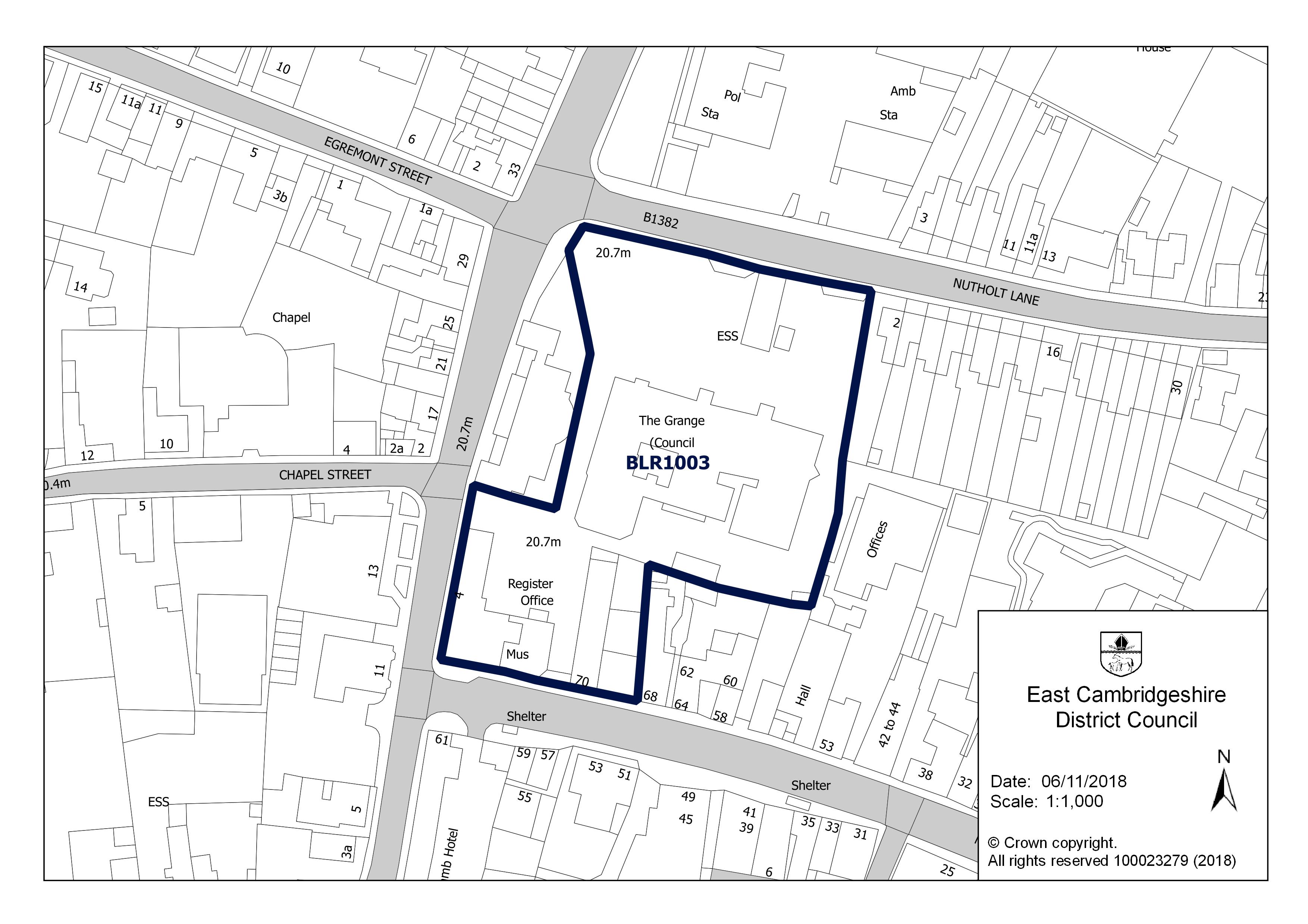
- The Grange, Nutholt Lane, Ely CB7 4EE: up to 10 homes, not permissioned (660 m)


Flood risk
Rivers, the sea or surface water: in this postcode, 17 addresses are in areas at high risk, 9 at medium risk and 11 at low risk. Each address counts once, at the higher of its rivers-and-sea and surface-water risk.
Rivers and the sea alone: no home is in an area at risk.
High: 3.3% (1 in 30) or more chance of flooding a year. Medium: 1% to 3.3%. Low: 0.1% to 1%. Very low: under 0.1%. The rivers and sea figures allow for flood defences. Counts cover whole postcodes, which can include other streets.
Flood zone for planning: no postcode centre is in flood zone 2 or 3.
Broadband
Superfast 100%, ultrafast 95%, gigabit 95% of premises; 0% cannot get 10 Mbit/s. Ofcom Connected Nations, data as at January 2026.
The full dossier for this postcode's main street is on Broad Street.