CB7 9ED East Cambridgeshire
Live postcode, introduced February 2008. Ward: Soham South. Region: East of England.
Streets
- High Street, Soham: 1 address
Council tax
What each band costs in East Cambridgeshire in 2026-27: Band D £2,485 a year on average, including the police, fire and any county and parish charges.
| A | B | C | D | E | F | G | H |
|---|---|---|---|---|---|---|---|
| £1,657 | £1,933 | £2,209 | £2,485 | £3,037 | £3,590 | £4,142 | £4,970 |
Homes by band in the neighbourhood around this postcode: most are in band B (43% of about 940 homes).
Planning and heritage
- Conservation area: yes, Soham (council page). Extensions, demolition, some windows and doors, and work on trees need consent.
- Listed buildings within 100 m of this postcode: 5.
- Article 4 direction (removing permitted development rights): none recorded, though not every council has published theirs.
- Tree preservation orders: 5 protected trees within 100 m of this postcode.
- Green belt: no.
Listed buildings
- CHURCH OF ST ANDREW, grade I
- MANOR HOUSE, grade II*
- 1, 3 AND 5, WHITE HART LANE, grade II
- 48, HIGH STREET, grade II
- ST ANDREWS HOUSE, grade II
Brownfield land registered for housing within 1.0 km
- 5A White Hart Lane Soham Ely Cambridgeshire CB7 5JQ: up to 7 homes, permissioned (130 m)
- Lloyds TSB Bank Plc 8 Churchgate Street Soham Ely Cambridgeshire CB7 5DR: up to 5 homes, permissioned (130 m)
- 1 Brook Dam Lane Soham Ely Cambridgeshire CB7 5HZ, permissioned (140 m)
- 1 Brook Dam Lane Soham Ely Cambridgeshire CB7 5HZ: up to 5 homes, permissioned (140 m)
- 90 Paddock Street Soham Ely Cambridgeshire CB7 5JA: up to 9 homes, permissioned (150 m)
- 90 Paddock Street, Soham, Ely Cambridgeshire CB7 5JA, permissioned (150 m)
- Walter Gidney Pavilion Fountain Lane Soham Ely Cambridgeshire CB7 5ED, permissioned (240 m)
- Milbrook House 50 Lode Close Soham Ely Cambridgeshire CB7 5WN: up to 4 homes, permissioned (290 m)
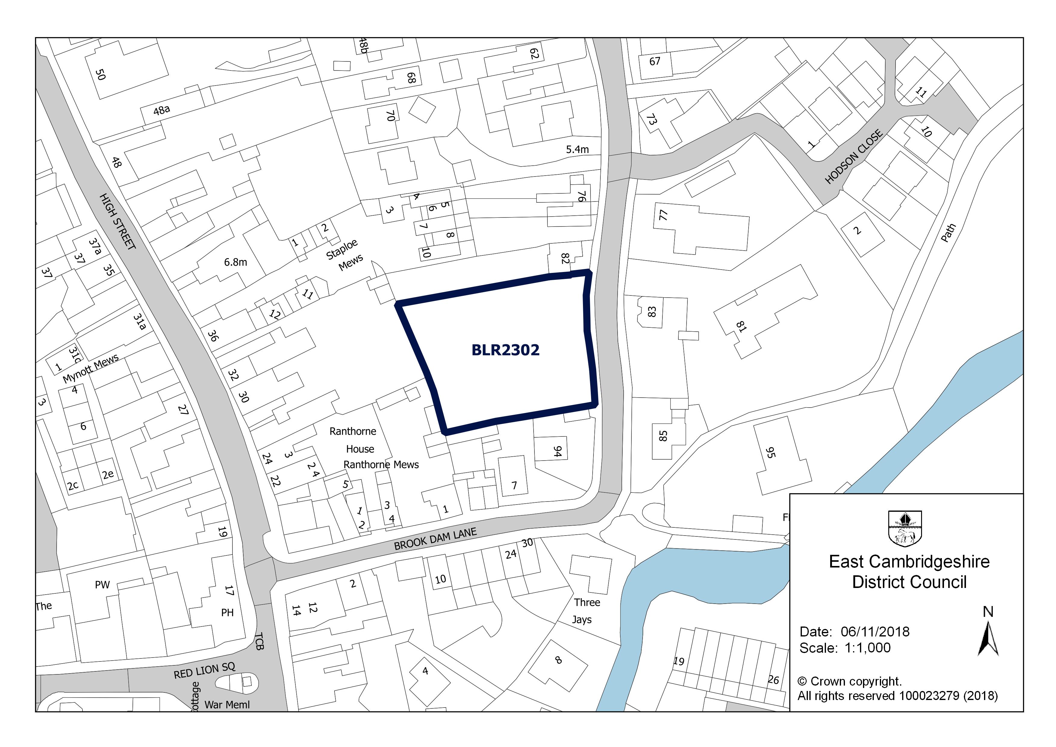
Flood risk
No address in this postcode is in an area at high, medium or low risk of flooding from rivers, the sea or surface water. The rest are in areas at very low risk: less than a 0.1% (1 in 1,000) chance a year.
Rivers and the sea alone: no home is in an area at risk.
High: 3.3% (1 in 30) or more chance of flooding a year. Medium: 1% to 3.3%. Low: 0.1% to 1%. Very low: under 0.1%. The rivers and sea figures allow for flood defences. Counts cover whole postcodes, which can include other streets.
Flood zone for planning: no postcode centre is in flood zone 2 or 3.
Broadband
No Ofcom figures for this postcode.
Getting around
| Nearest | Distance | |
|---|---|---|
| Railway stations | Soham 66,000 journeys in 2024–25 | 690 m |
| Ely 2.3 million journeys in 2024–25 | 8.1 km | |
| Newmarket 374,000 journeys in 2024–25 | 11.6 km | |
| Bus stops | 4 stops within 400 m, 10 within 800 m; nearest White Hart Lane Soham | 110 m |
| Car parks | 2 within 800 m; nearest Co-Op Soham Car Park | 40 m |
| EV charging points | 2 within 1.6 km; nearest Clay Street Car Park | 190 m |
| Airport with scheduled flights | London Stansted Airport STN | 50.3 km |
Local services
| Nearest | Distance | |
|---|---|---|
| GP surgeries | 1 practices within 1.6 km; nearest Staploe Medical Centre | 380 m |
| Pharmacies | 2 pharmacies within 1.6 km; nearest Wellbeing Pharmacy | 60 m |
| NHS dentists | 1 practices within 1.6 km; nearest Dental Surgery | 230 m |
| Hospital | Princess Of Wales Hospital | 9.9 km |
| Police station | Ely Police Station | 9.1 km |
| Cash machines | 1 machines within 800 m; nearest The Cooperative Food Soham, Soham Cashzone | 70 m |
Parks and green space
| Nearest | Distance | |
|---|---|---|
| Park or garden | 1 within 800 m; nearest East Fen Common 21 ha | 650 m |
| Play area | 3 within 800 m; nearest Unnamed 700 m² | 130 m |
| Playing field | 1 within 800 m; nearest Unnamed 2.4 ha | 170 m |
| Allotments | 3 within 800 m; nearest Unnamed 1,530 m² | 480 m |
Within 800 m: 1 park or garden, 21 hectares in all.
Air quality
| Pollutant | Here | UK limit | WHO guideline |
|---|---|---|---|
| Nitrogen dioxide (NO2) | 5.2 | 40 | 10 |
| Fine particles (PM2.5) | 7.1 | 20 | 5 |
| Particles (PM10) | 12.4 | 40 | 15 |
All three are within the UK legal limits; PM2.5 is above the WHO guideline, as in most towns and cities.
Road and rail noise
Noise figures are still being loaded.
People and work
Who lives here
| Around this postcode | England | |
|---|---|---|
| Median age | 41 | 40 |
| Children under 15 | 13% | 17% |
| Aged 65 and over | 14% | 18% |
Homes
| Around this postcode | England | |
|---|---|---|
| Owned (outright or with a mortgage) | 37% | 61% |
| Owned outright | 18% | 33% |
| Shared ownership | under 1% | 1% |
| Social rented | 2% | 17% |
| Private rented | 61% | 21% |
Work and commuting
| Around this postcode | England | |
|---|---|---|
| Adults (16 and over) in work | 71% | 57% |
| Unemployment (of those working or looking for work) | 5% | 6% |
| Retired (of adults) | 15% | 22% |
| Long-term sick or disabled (of adults) | 2% | 4% |
| Work mainly from home (of those in work) | 20% | 32% |
| Travel to work by car or van | 62% | 48% |
| By train, Underground, metro or tram | 2% | 4% |
| By any public transport, including bus | 2% | 8% |
| On foot or by bicycle | 12% | 10% |
| Work within 10 km of home (of those who travel to work) | 55% | 65% |
| Work 30 km or more away | 8% | 8% |
Education and languages
| Around this postcode | England | |
|---|---|---|
| Degree or other higher qualification, Level 4+ (of adults) | 27% | 34% |
| No qualifications | 19% | 18% |
| Apprenticeship as highest qualification | 8% | 5% |
| Main language English (aged 3 and over) | 81% | 91% |
| Cannot speak English well or at all | 8% | 2% |
Deprivation
The neighbourhood around this postcode is in decile 5 of 10 on the English Indices of Deprivation 2025, where 1 is the most deprived tenth of England's 33,755 neighbourhoods and 10 the least.
The full dossier for this postcode's main street is on High Street.