CB7 9EF East Cambridgeshire
Live postcode, introduced April 2010. Ward: Soham South. Region: East of England.
Streets
- High Street, Soham: 1 address
Council tax
What each band costs in East Cambridgeshire in 2026-27: Band D £2,485 a year on average, including the police, fire and any county and parish charges.
| A | B | C | D | E | F | G | H |
|---|---|---|---|---|---|---|---|
| £1,657 | £1,933 | £2,209 | £2,485 | £3,037 | £3,590 | £4,142 | £4,970 |
Homes by band in the neighbourhood around this postcode: most are in band B (43% of about 940 homes).
Planning and heritage
- Conservation area: yes, Soham (council page). Extensions, demolition, some windows and doors, and work on trees need consent.
- Listed buildings within 100 m of this postcode: 5.
- Article 4 direction (removing permitted development rights): none recorded, though not every council has published theirs.
- Tree preservation orders: 5 protected trees within 100 m of this postcode.
- Green belt: no.
Listed buildings
- CHURCH OF ST ANDREW, grade I
- MANOR HOUSE, grade II*
- 1, 3 AND 5, WHITE HART LANE, grade II
- 48, HIGH STREET, grade II
- ST ANDREWS HOUSE, grade II
Brownfield land registered for housing within 1.0 km
- 5A White Hart Lane Soham Ely Cambridgeshire CB7 5JQ: up to 7 homes, permissioned (130 m)
- Lloyds TSB Bank Plc 8 Churchgate Street Soham Ely Cambridgeshire CB7 5DR: up to 5 homes, permissioned (130 m)
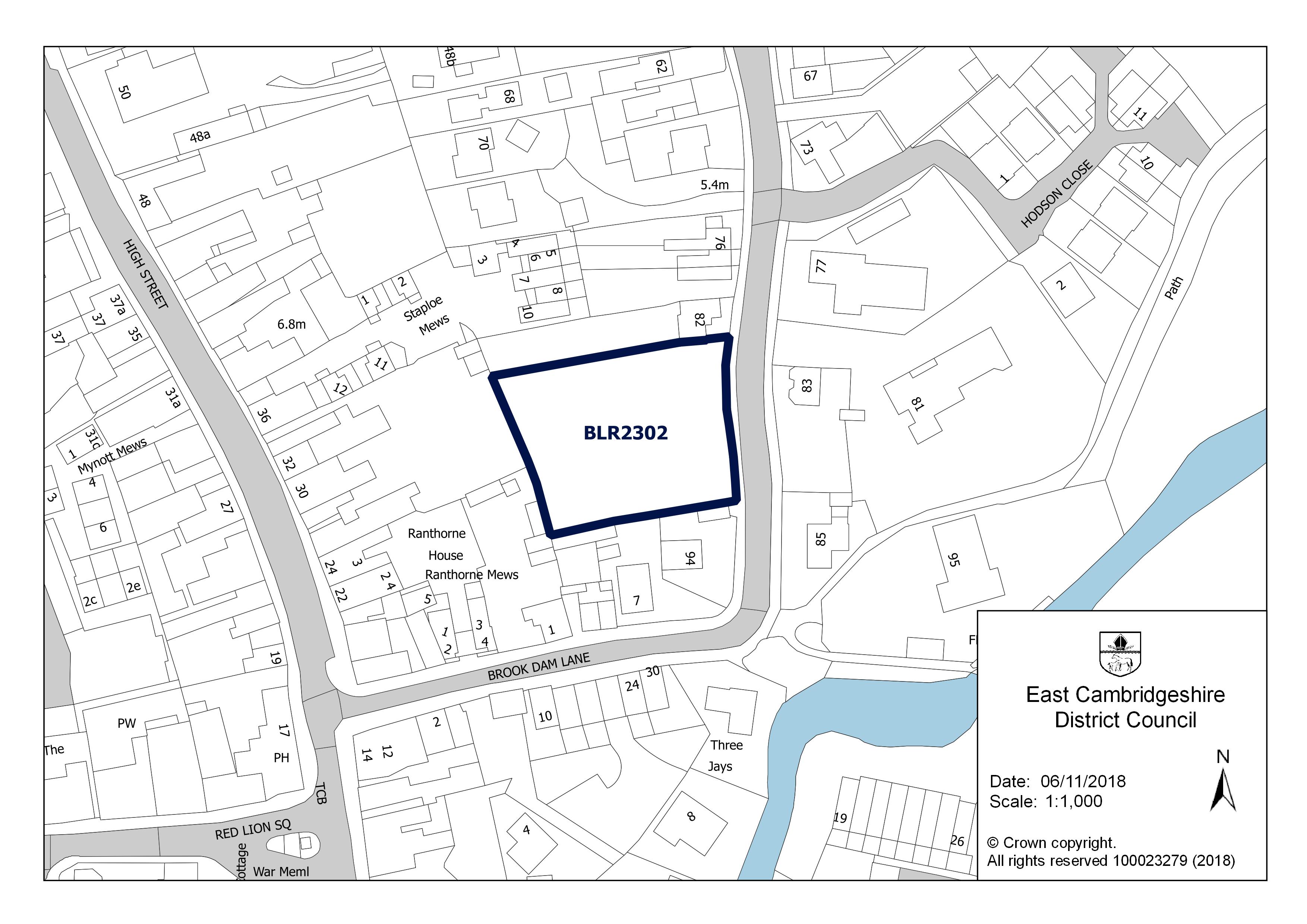
- 1 Brook Dam Lane Soham Ely Cambridgeshire CB7 5HZ, permissioned (140 m)
- 1 Brook Dam Lane Soham Ely Cambridgeshire CB7 5HZ: up to 5 homes, permissioned (140 m)
- 90 Paddock Street Soham Ely Cambridgeshire CB7 5JA: up to 9 homes, permissioned (150 m)
- 90 Paddock Street, Soham, Ely Cambridgeshire CB7 5JA, permissioned (150 m)
- Walter Gidney Pavilion Fountain Lane Soham Ely Cambridgeshire CB7 5ED, permissioned (240 m)
- Milbrook House 50 Lode Close Soham Ely Cambridgeshire CB7 5WN: up to 4 homes, permissioned (290 m)
Flood risk
No address in this postcode is in an area at high, medium or low risk of flooding from rivers, the sea or surface water. The rest are in areas at very low risk: less than a 0.1% (1 in 1,000) chance a year.
Rivers and the sea alone: no home is in an area at risk.
High: 3.3% (1 in 30) or more chance of flooding a year. Medium: 1% to 3.3%. Low: 0.1% to 1%. Very low: under 0.1%. The rivers and sea figures allow for flood defences. Counts cover whole postcodes, which can include other streets.
Flood zone for planning: no postcode centre is in flood zone 2 or 3.
Broadband
No Ofcom figures for this postcode.
The full dossier for this postcode's main street is on High Street.