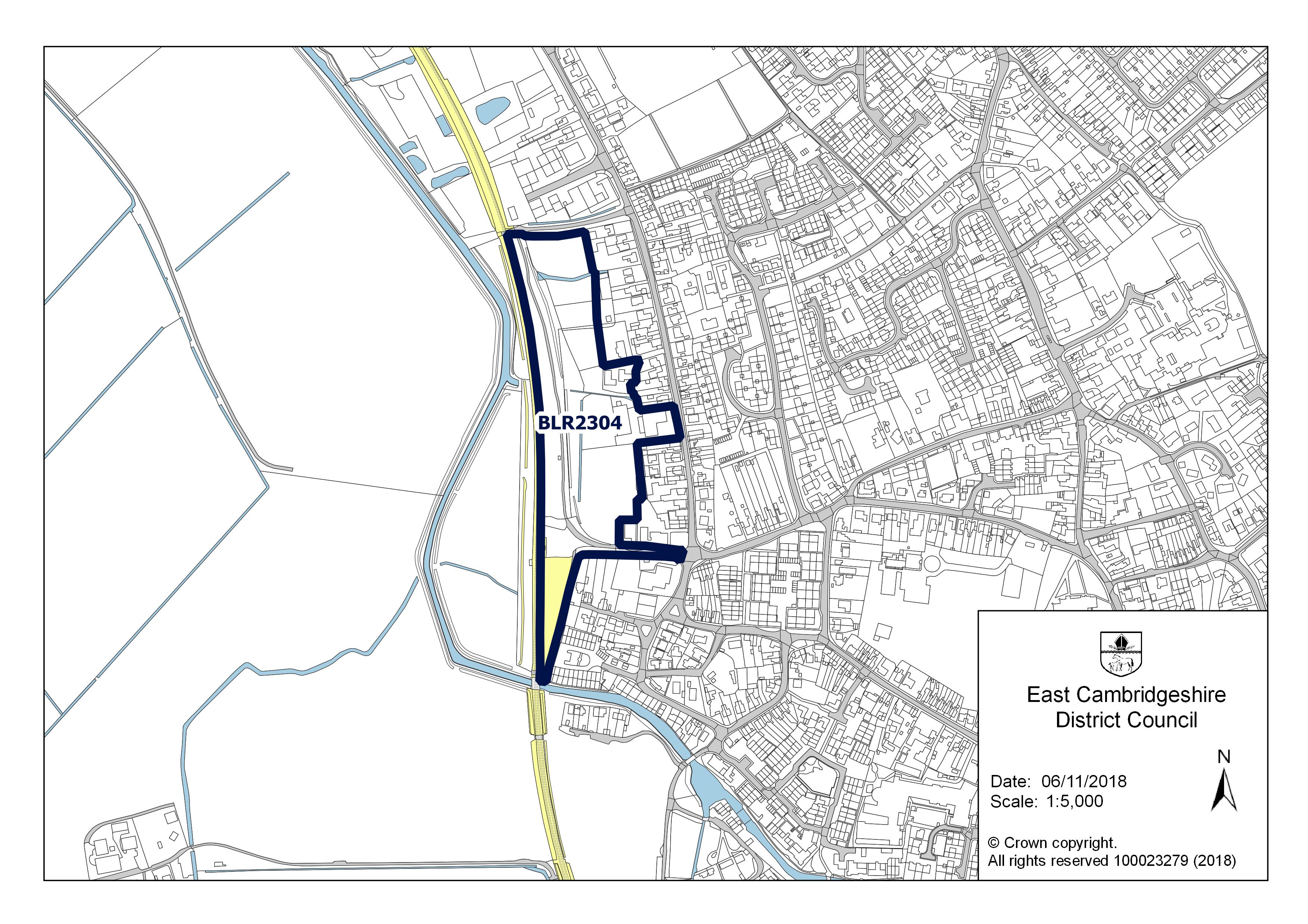
14 addresses across 2 postcodes (CB7), about 60 m long, classed as a local road. USRN 12004199.
Sales: 20 recorded sales since 1995; in 2021 the median was £292,250 across 2 sales.
Energy: 10 homes have an energy certificate (B: 2, C: 8).
Flood: 3 addresses on its postcodes are in areas at high or medium risk of flooding from rivers, the sea or surface water.
Council tax: Most homes around it are in council tax band B; Band D in East Cambridgeshire costs £2,485 a year in 2026-27.
Broadband: Gigabit broadband is available to 100% of premises.
Transport: The nearest railway station is Soham, about 400 m away in a straight line.
Green space: The nearest park or garden is about 900 m away.
Air: Background air pollution in 2024 was 5.2 µg/m³ of nitrogen dioxide and 7.1 of PM2.5, within UK legal limits.
Height: Its addresses are 7 to 8 m above sea level.
Noise: 3 of its 14 addresses are modelled at 55 dB or more from road traffic.
Doctors: The nearest GP surgery is Staploe Medical Centre, about 660 m away.
People: About 400 people lived in the census areas around it in 2021; 60% of households owned their home and 32% of adults held a degree or other higher qualification.
Crime: 67 crimes were recorded within 250 m between September 2025 and August 2026, most often violence and sexual offences.
Sales on this street
Source: HM Land Registry Price Paid Data, sales registered up to 28 August 2026, loaded 28 October 2026. Sales reach the register two weeks to two months after completion, so the last two months are incomplete. Matched by postcode and street name.
Sales by year (standard sales only; repossessions and buy-to-let transfers excluded)
10 homes with a current certificate; median floor area 105 m².
Most common: House, detached (6); House, mid-terrace (3); House, end-terrace (1). Built: 2007-2011 (4); 2008 (2); 2007 onwards (2). Tenure at assessment: owner-occupied (6).
Council tax
What each band costs in East Cambridgeshire in 2026-27: Band D £2,485 a year on average, including the police, fire and any county and parish charges.
A
B
C
D
E
F
G
H
£1,657
£1,933
£2,209
£2,485
£3,037
£3,590
£4,142
£4,970
Homes by band in the neighbourhood around this street: most are in band B (43% of about 940 homes).
A30%
B43%
C12%
D11%
E3%
F1%
G1%
H0%
Sources: Valuation Office Agency, Council Tax: stock of properties, homes at 31 March 2026 (counts rounded to the nearest 10), for the neighbourhood (census area of about 700 homes) around it, not just this street; Ministry of Housing, Communities and Local Government, council tax levels 2026-27. Bands are charged as fixed shares of Band D; the actual bill depends on the parish and on discounts such as the single-person discount.
Check a home's own band with the official council tax band checker.
Planning and heritage
Conservation area: yes, Soham (council page). Extensions, demolition, some windows and doors, and work on trees need consent.
Listed buildings on or by this street: none.
Article 4 direction (removing permitted development rights): none recorded, though not every council has published theirs.
Tree preservation orders: none recorded, though not every council has published theirs.
Green belt: no.
Brownfield land registered for housing within 1.0 km
Source: planning.data.gov.uk (Ministry of Housing, Communities and Local Government), compiled from councils and, for listed buildings, Historic England's National Heritage List. Conservation areas, Article 4 directions, tree preservation areas and the green belt are checked at each postcode's centre. Listed buildings and protected trees are counted on or by this street. Councils publish Article 4 directions, tree preservation orders and brownfield registers to different standards, and some not yet. Planning applications are not here: there is no national open record of them yet.
Roadworks
No street works under way, planned or finished in the last three months on this street, in permits up to 30 September 2026.
Source: Department for Transport, Street Manager open data, permits and works up to 30 September 2026. It is published once a month, so works arranged or started since then are not shown, and dates are the ones planned unless the works have started or finished. Emergency works are often permitted after they begin.
Flood risk
Rivers, the sea or surface water: in this street's postcodes, 1 address is in areas at high risk, 2 at medium risk and 1 at low risk. Each address counts once, at the higher of its rivers-and-sea and surface-water risk.
Rivers and the sea alone: no home is in an area at risk.
High: 3.3% (1 in 30) or more chance of flooding a year. Medium: 1% to 3.3%. Low: 0.1% to 1%. Very low: under 0.1%. The rivers and sea figures allow for flood defences. Counts cover whole postcodes, which can include other streets.
Flood zone for planning: no postcode centre on this street is in flood zone 2 or 3.
Postcode
Planning zone
Addresses at high / medium / low risk
Groundwater
CB7 5PY
not in 2 or 3
0 / 1 / 1
unlikely
CB7 5HJ
not in 2 or 3
1 / 1 / 0
unlikely
Sources: Environment Agency Flood risk: postcode search tool data (loaded 29 October 2026), Risk of Flooding from Rivers and Sea: postcodes in areas at risk (loaded 29 October 2026) and Flood Map for Planning (loaded 28 October 2026). Flood zones are checked at each postcode's centre point. These are models of areas, which their publishers say are not suitable for showing whether an individual property is at risk, and they do not cover flooding from sewers or drains.
Check an address on the official long-term flood risk service.
Height above sea level
The street's 14 addresses are between 7 m and 8 m above sea level (7 m on average).
Source: Ordnance Survey, OS Terrain 50, July 2026: the height of the ground on a 50 m grid, read at each address, in metres above Ordnance Datum (mean sea level at Newlyn). It is the lie of the land, not floor or threshold levels, and is accurate to a few metres. Being low-lying is not in itself a flood risk; the flood section above says what the flood maps show.
Broadband
Source: Ofcom Connected Nations, data as at January 2026. Percentages are of premises in each postcode that can get the service, not take-up or speed achieved.
Availability by postcode (% of premises)
Postcode
Superfast (30 Mbit/s+)
Ultrafast (300 Mbit/s+)
Gigabit
Below 10 Mbit/s
CB7 5HJ
100%
100%
100%
0%
CB7 5PY
100%
100%
100%
0%
Getting around
Sources: Department for Transport, NaPTAN (every public transport stop), as at 31 October 2026; Office of Rail and Road, Estimates of station usage 2024–25 (which stations are on the National Rail network, and their journeys: entries and exits in the year to March); OurAirports (public domain, kept by volunteers); car parks and charging points from Overture Maps Foundation, release 2026-10-21.0, which gathers business listings from Meta, Microsoft, Foursquare and others: not an official register, so some will be missing, private or out of date. Distances are straight lines from the middle of the street, not routes, and say nothing about how often anything runs. Stations opened since the end of ORR's year appear when ORR publishes the next one, each December; heritage railways are left out.
Nearest
Distance
Railway stations
Soham 66,000 journeys in 2024–25
400 m
Ely 2.3 million journeys in 2024–25
7.9 km
Newmarket 374,000 journeys in 2024–25
11.7 km
Bus stops
5 stops within 400 m, 9 within 800 m; nearest White Hart Lane Soham
300 m
Car parks
2 within 800 m; nearest Co-Op Soham Car Park
310 m
EV charging points
2 within 1.6 km; nearest Clay Street Car Park
300 m
Airport with scheduled flights
London Stansted Airport STN
50.3 km
Local services
Sources: NHS Organisation Data Service, as at 31 October 2026: GP practices, community pharmacies and dental practices with an NHS contract, open now, each placed at the centre of its postcode; hospitals are NHS trust and Welsh health board sites named as hospitals, and may not have an emergency department. Police stations and cash machines from Overture Maps Foundation, release 2026-10-21.0, which gathers business listings: not an official register, so some will be missing or out of date. Distances are straight lines from the middle of the street. Nothing here says whether a practice is taking new patients or a dentist new NHS patients.
Nearest
Distance
GP surgeries
1 practices within 1.6 km; nearest Staploe Medical Centre
660 m
Pharmacies
2 pharmacies within 1.6 km; nearest Wellbeing Pharmacy
330 m
NHS dentists
1 practices within 1.6 km; nearest Dental Surgery
100 m
Hospital
Princess Of Wales Hospital
9.8 km
Police station
Ely Police Station
9.0 km
Cash machines
1 machines within 800 m; nearest The Cooperative Food Soham, Soham Cashzone
350 m
Parks and green space
Source: Ordnance Survey, OS Open Greenspace, April 2026: public parks and gardens, play spaces, playing fields and allotments, with their entrances. Distances are straight lines from the middle of the street to a site's nearest entrance (or its edge where none is recorded), not walking routes; sizes are the area OS maps for each site. Some sites, such as school playing fields, may not be open to the public.
Nearest
Distance
Park or garden
Unnamed7,870 m²
900 m
Play area
3 within 800 m; nearest Unnamed1,190 m²
80 m
Playing field
2 within 800 m; nearest Unnamed2.4 ha
230 m
Allotments
3 within 800 m; nearest Unnamed1,530 m²
170 m
Landmarks
The nearest historic landmark is Church of St Andrew, a listed building (Grade I), 280 m east. 38 listed buildings are within 1.0 km, 1 of them Grade I and 1 of them Grade II*.
Sources: Historic England's registers through planning.data.gov.uk (MHCLG), and Cadw through DataMapWales (Welsh Government): World Heritage Sites within 10.0 km, battlefields within 5.0 km, registered parks and gardens within 3.0 km, scheduled monuments within 2.0 km, and Grade I and II* listed buildings within 1.0 km. Ordnance Survey, OS Open Names, October 2026: named hills, valleys, lakes, woods, wetlands and coast (it has no rivers). Distances are in a straight line to the middle of each site, and being on a register does not mean there is public access.
Air quality
Source: Defra, modelled background air pollution, annual means for 2024, for the 1 km square that holds the middle of the street. These are background levels, away from the kerb: beside a busy road nitrogen dioxide in particular can be several times higher. UK limits are the legal annual limits for England and Wales; the World Health Organization's 2021 guidelines are much stricter, and most towns and cities are above them.
Annual means in µg/m³ (micrograms per cubic metre of air)
Pollutant
Here
UK limit
WHO guideline
Nitrogen dioxide (NO2)
5.2
40
10
Fine particles (PM2.5)
7.1
20
5
Particles (PM10)
12.4
40
15
All three are within the UK legal limits; PM2.5 is above the WHO guideline, as in most towns and cities.
Road and rail noise
Source: Defra, strategic noise mapping Round 4 (England), modelled for 2021 and published in December 2023, and its airport maps of the same round for the fifteen largest English airports, published in April 2026: Lden, the average sound level over a whole day with extra weight for the evening and night, on a 10 m grid, read at each address. These are models of traffic, not measurements; they leave out smaller airports and airfields, industry and neighbours, and a room at the back of a house is often much quieter than the front. The World Health Organization's guidelines are 53 dB for road traffic, 54 dB for railways and 45 dB for aircraft (below the lowest level shown here).
Addresses by modelled noise level (Lden, dB)
Level
Road traffic
Railways
55 to 59
3
0
Under 55
11
14
3 of the street's 14 addresses are modelled at 55 dB or more from road traffic, above the WHO guidelines.
Nearest schools
Source: Get Information About Schools (Department for Education), 1 November 2026; Ofsted monthly management information as at September 2026. Distances are straight lines from the middle of the street to the school; catchments and admissions are not shown. Since November 2025 Ofsted gives report-card grades by area, not one overall grade; older grades stand until a school is re-inspected.
School
Phase
Ages
Distance
Inspection
Soham Village College
Secondary
11–16
520 m
Outstanding (Jun 2024, overall grade under the previous framework)
The Weatheralls Primary School
Primary
3–11
560 m
Requires improvement (Oct 2023, overall grade under the previous framework)
St Andrew's CofE Primary School Church of England
Primary
3–11
650 m
No published inspection
Food hygiene ratings nearby
Source: Food Standards Agency, Food Hygiene Rating Scheme, extract of 1 November 2026. Each rating is shown with the date it was given; a business may have been re-inspected since the extract. Within 500 m of the middle of the street.
Business
Type
Distance
Rating
Rated
Asda Stores Ltd CB7 5HH
Retailers - supermarkets/hypermarkets
130 m
5 Very good
16 Feb 2026
Sanctuary Supported Living CB7 5WN
Other catering premises
140 m
5 Very good
20 Oct 2026
Fairhaven Care Home CB7 5DZ
Hospitals/Childcare/Caring Premises
190 m
5 Very good
6 May 2026
The Brambles CB7 5DZ
Hospitals/Childcare/Caring Premises
190 m
4 Good
16 Oct 2023
Soham Bowls Club CB7 5ED
Other catering premises
220 m
5 Very good
20 Jun 2024
Little Wombatz CB7 5HJ
Hospitals/Childcare/Caring Premises
250 m
5 Very good
20 May 2026
Ross Peers Sports Centre CB7 5HP
Retailers - other
300 m
5 Very good
7 Mar 2011
Sabro's CB7 5DS
Mobile caterer
310 m
5 Very good
12 Nov 2025
Domino's Pizza CB7 5DR
Takeaway/sandwich shop
330 m
5 Very good
22 Sep 2026
CornerCopia Living CB7 5HA
Restaurant/Cafe/Canteen
330 m
5 Very good
30 Apr 2025
Soham Mini Market CB7 5HA
Retailers - other
340 m
Awaiting inspection
The Co-operative Group CB7 5HA
Retailers - supermarkets/hypermarkets
350 m
5 Very good
10 Jan 2025
The Red Lion CB7 5HA
Restaurant/Cafe/Canteen
350 m
5 Very good
12 Dec 2025
Ali Taj CB7 5DS
Restaurant/Cafe/Canteen
350 m
3 Generally satisfactory
14 Jul 2025
Pupa's Shop Ltd (Labas) CB7 5DS
Retailers - other
350 m
5 Very good
29 May 2026
Crime within 250 m
Source: data.police.uk street-level crime, September 2025 to August 2026. Police forces move every crime to the nearest of about 760,000 anonymised map points before publishing, so these are crimes near this street, not on it, and a busy point can collect crimes from a wider area. Counts are of records, not convictions.
67 recorded crimes by category
Category
Crimes
Violence and sexual offences
21
Anti-social behaviour
16
Criminal damage and arson
14
Other theft
4
Vehicle crime
3
Burglary
3
Public order
3
Possession of weapons
2
Other crime
1
Most of these are attached to: On or near Clay Street (15); On or near Mill Corner (9); On or near Dobede Way (9); On or near St Andrews Park (8); On or near Park/Open Space (7).
People and work
Source: ONS Census 2021, taken on 21 March 2021, for the Output Area (a small census area of about 125 households) that this street's postcodes are in: 397 residents in 160 households. The census was taken during a lockdown, so working from home is high and travel to work low compared with now. ONS swaps a few records between neighbouring areas and adds small amounts of noise to counts to protect privacy, so small differences mean little. Industry is not published for areas this small.
Who lives here
Around this street
England
Median age
39
40
Children under 15
22%
17%
Aged 65 and over
18%
18%
Homes
Around this street
England
Owned (outright or with a mortgage)
60%
61%
Owned outright
26%
33%
Shared ownership
3%
1%
Social rented
10%
17%
Private rented
28%
21%
Work and commuting
Around this street
England
Adults (16 and over) in work
69%
57%
Unemployment (of those working or looking for work)
1%
6%
Retired (of adults)
22%
22%
Long-term sick or disabled (of adults)
3%
4%
Work mainly from home (of those in work)
33%
32%
Travel to work by car or van
58%
48%
By train, Underground, metro or tram
0%
4%
By any public transport, including bus
1%
8%
On foot or by bicycle
7%
10%
Work within 10 km of home (of those who travel to work)
52%
65%
Work 30 km or more away
5%
8%
Education and languages
Around this street
England
Degree or other higher qualification, Level 4+ (of adults)
32%
34%
No qualifications
24%
18%
Apprenticeship as highest qualification
6%
5%
Main language English (aged 3 and over)
87%
91%
Cannot speak English well or at all
3%
2%
Deprivation
The neighbourhood around this street is in decile 5 of 10 on the English Indices of Deprivation 2025, where 1 is the most deprived tenth of England's 33,755 neighbourhoods and 10 the least.
Source: English Indices of Deprivation 2025 (Ministry of Housing, Communities and Local Government), by LSOA (about 1,500 people), through the ONS Postcode Directory. The index combines income, employment, health, education, crime, housing and living environment; it ranks areas against each other and does not describe any one household. Ranks in England and Wales are worked out separately and cannot be compared.
What has changed
Food hygiene ratings Soham Kebab & Pizza (takeaway/sandwich shop, CB7 5HQ) is no longer listed; it was rated 5 Very good found 31 October 2026
Food hygiene ratings Sanctuary Supported Living (other catering premises, CB7 5WN) re-inspected, still 5 Very good (rated 20 October 2026) found 31 October 2026
Source: ONS Postcode Directory August 2026, ONS UPRN Directory September 2026, OS Open Linked Identifiers September 2026. A postcode can cover more than one street; the share shows how many of its addresses are on this one.
Whether a particular house is at risk of flooding, subsiding or anything else: the flood map is a model of areas and there is no property-level data here.
What a home is worth now: sales are historic prices for the homes that happened to sell.
How safe the street is: crime points are moved to anonymised locations and many crimes are never reported.
Whether you would get a place at a school: distances are straight lines, not catchments.
Who lives on the street now: census figures describe the small areas around it in March 2021, during a lockdown.
How long a journey takes or how often anything runs: transport distances are straight lines to the nearest stops.
Whether a GP practice is taking new patients, or a dentist new NHS patients.
How loud a home is inside, or noise from industry, neighbours or smaller airfields: noise figures are models of road, rail and air traffic outside.
How each figure on this page is matched to the street and worked out: methodology.